


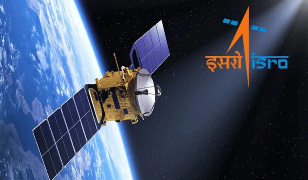
ISRO Geo-Imaging Satellite: The Indian space agency, ISRO, is poised to create history once again. ISRO is set to launch a special mission on September 4th. Under this mission, ISRO will launch India’s first geo-imaging satellite into space. Upon the mission’s success, India will join the select group of nations that possess their own geo-imaging satellites. ISRO will utilize its most reliable GSLV-F17 rocket for this launch. Once the satellite reaches Earth’s orbit, India will be able to monitor its borders from space. What exactly is this mission? How will it benefit India? Let’s understand the details.
When and from where will the launch take place?
While sharing details about the mission, Union Minister Dr. Jitendra Singh stated that the GSLV-F17/EOS-05 mission will lift off at 2:55 AM on September 4, 2026, from the second launch pad of the Satish Dhawan Space Centre in Sriharikota. The GSLV-F17 flight will mark the 19th mission of India’s Geosynchronous Satellite Launch Vehicle and will place the EOS-05 satellite into a Sub-Geosynchronous Transfer Orbit (Sub-GTO).
What makes this satellite special?
This geo-imaging satellite is named ‘EOS-05 (GISAT-1A)’. It will be India’s first imaging satellite to operate from a geosynchronous orbit. Weighing approximately 2,367 kilograms, it is an advanced Earth observation satellite designed to monitor Earth from space. The satellite will enable ISRO to obtain real-time, high-resolution images of the Indian subcontinent. This mission is particularly significant because most Indian remote sensing satellites operate in Low-Earth Orbit (LEO) and can monitor a specific area for only a limited duration. Meanwhile, EOS-05 will be able to keep a constant watch on India from a geostationary orbit at an altitude of approximately 36,000 kilometers.
Capturing images of the entire country every half-hour
The primary function of the GISAT-1A satellite is to monitor India and capture images. It will image the entire country approximately every 30 minutes. Additionally, if images of a specific location are required, it can capture them every 5 minutes. The satellite is equipped with highly advanced, high-resolution cameras capable of multispectral and hyperspectral imaging. It is designed to remain operational for the next 10 years.
Which countries possess this technology?
Before India, only a select few nations possessed geo-imaging satellites.
- USA: The US space agency, NASA, has already launched satellites such as the GOES series and SBIRS/DSP, which assist in tasks ranging from missile tracking to weather forecasting.
- China: China operates satellites like Gaofen and Yaogan, utilizing them for military surveillance and disaster management.
- Europe: Europe and Africa also possess high-speed multispectral imaging satellites used to monitor weather and environmental conditions.
- Russia: Russia employs the Elektro-L series of satellites for border surveillance and weather monitoring.
- Japan: The Himawari series of satellites performs imaging from space.
- South Korea: The KARI agency uses the GEO-KOMPSAT series of satellites for real-time monitoring of weather and the marine environment.
What are the benefits for India?
With geo-imaging satellites, India will be able to maintain 24/7 surveillance of its borders. Monitoring of troop activities, military infrastructure, and movements along the LAC (Line of Actual Control) and LoC (Line of Control) will become faster and more efficient.
The satellite will provide repeated, real-time images of specific areas whenever needed, offering a significant advantage to the Indian armed forces during times of war or crisis. India will be able to better monitor ships, maritime activities, and strategic movements in the Indian Ocean region.
The GISAT-1A satellite could prove to be a game-changer in disaster management. It will enable real-time monitoring of events such as cyclones, floods, forest fires, cloudbursts, and flash floods.

